ΠΡΟΠΟΝΤΙΔΑ
- ΟΔΟΣ ΠΡΟΠΟΝΤΙΔΟΣ
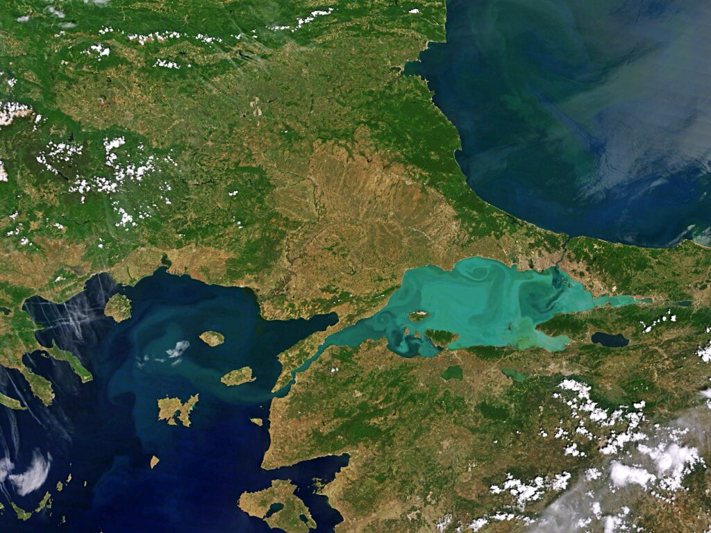
Η ονομασία «Προποντίδα» προέρχεται από το «προ» και «Πόντος», δηλώνοντας τη θέση της πριν από τον Εύξεινο Πόντο. Η Προποντίδα, γνωστή και ως Θάλασσα του Μαρμαρά, είναι εσωτερική θάλασσα που ενώνει τον Εύξεινο Πόντο με το Αιγαίο Πέλαγος, λειτουργώντας ως φυσικό όριο ανάμεσα στην ευρωπαϊκή και την ασιατική Τουρκία. Συνδέεται βορειοανατολικά με τον Βόσπορος και νοτιοδυτικά με τον Ελλήσποντος, ενώ ο Βόσπορος διχοτομεί και την Κωνσταντινούπολη. Εκτείνεται από την Καλλίπολη έως τη Νικομήδεια, με μεγαλύτερο μήκος ακτογραμμής στην ασιατική πλευρά. Η θάλασσα λειτουργεί ως θαλάσσιος δίαυλος μεταφοράς υδάτων: τα πλεονάζοντα νερά του Εύξεινου Πόντου διοχετεύονται μέσω του Βοσπόρου και κατευθύνονται προς το Αιγαίο δια του Ελλησπόντου, δημιουργώντας το μόνιμο «ρεύμα του Μαρμαρά».
[ΠΗΓΕΣ: storymaps.arcgis.com, el.travelogues.gr]
PROPONTIS
The name “Propontis” derives from the Greek words pro and Pontus, meaning “before the Pontus,” referring to its location relative to the Black Sea. Also known as the Sea of Marmara, the Propontis is an inland sea that connects the Black Sea with the Aegean Sea, serving as a natural boundary between European and Asian Turkey. It is connected to the Bosphorus in the northeast and to the Dardanelles in the southwest, with the Bosphorus bisecting Istanbul. The sea stretches from the Gallipoli Peninsula to Nicomedia, with a longer coastline along the Asian side. The Propontis also functions as a vital waterway: the surplus waters of the Black Sea flow through the Bosphorus into the Aegean via the Dardanelles, creating the permanent Marmara current.